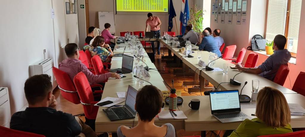
A meeting of experts was held on 26-27 May within the framework of child project 2.1. of the GEF MedProgramme, regarding the preliminary analyses of the calculations of Land Cover Change candidate indicator for the lebanese coastline. Along with selected examples from the area of Adriatic sea, this workshop included the main overview of changes on the lebanese coastline in the period 2012 – 2018. The discussion was marked by a contribution in knowledge of different aspects related to the spatial planning and remote sensing topics.
One of the goals of the workshop was to discuss key inputs for establishment of the GES (good environmental status) for the candidate indicator, as a part of the future Quality Status Report. Experts from various fields contributed in defining the key questions and points directly attached to this broad subject of analysis. An overview of selected experiences from projects in Croatia, Lebanon and Montenegro was given. Last part of the workshop encompassed Coastal zone planning and management with the general objectives towards National ICZM Strategy and Draft ICZM law for Lebanon.


