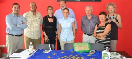
Recently, two technical meetings were organised in the framework of the SHAPE IPA Adriatic project to which PAP/RAC is a co-ordinator of the WP on ICZM and provides technical assistance in order to prepare the outputs required for various project actions. At the meetings held in Tirana (17 and 18 June 2013) and in Koper (21 June 2013) the progress of pilot projects on the definition of the setback zone was presented and discussed.
In Albania, the pilot project includes the Narta protected area where the main problems are related to coastal erosion processes and coastal dynamics on one side and the absence of the officially defined highest winter waterline from which the zone of 100 m where no construction is allowed, on the other. During the discussion a number of starting points were defined with regard to legal and technical capacities for the implementation of the setback in Albania. Also, the status of the Narta region was discussed and in particular the erosion processes as the main characteristics important for the definition of the coastline. A set of criteria was proposed to proceed including stakeholders involvement. The meeting was held at ECAT, which is the project partner, and it was attended by experts and representatives of the relevant ministry and institutions.
In Slovenia, the project area includes the whole coastal area of the country and the project is led by the Regional Development Agency (RRC Koper). The objectives of the meeting were to review the work done, in particular to comment the interim report and to detail out the gaps and elements of the project still to be done. A set of criteria for the definition of the setback were discussed. This will assist the consultants to define the setback zone first, to exclude those areas that do not fall under the Article 8 criteria and second, criteria to extend the setback zone beyond 100 m which is set as a minimum in the Article. Also, the process for presenting the draft proposal to the main stakeholders was discussed. The GIS tools as a support to the management of the 100 m coastal strip developed within the Shape project was demonstrated, as well.


Visit of Jordanian delegation
23.06.2013
Upon request by the UNDP office in Amman, PAP/RAC organised a study tour for the Director of the Aqaba Marine Park and the Manager of the UNDP project "Mainstreaming Marine Biodive...

PAP/RAC at the EU Joint MSP-ICM Expert Group
02.07.2013
At the invitation of the EU Focal Point the PAP/RAC Director attended the Member State Expert Group on Maritime Spatial Planning - Integrated Coastal Management held in Brussels on...